
Fremont ZIP Codes by Area
Five primary ZIP codes appear in Fremont research. Their coverage is practical rather than a formal neighborhood boundary, and the exact result for one destination belongs to the USPS ZIP Code Lookup. Use the table as a starting map, then verify the address before connecting it to parcel, permit, court, or historical records.
| ZIP Code | Areas Covered | Post Office Context | Notes |
|---|---|---|---|
| 94536 | North and central Fremont, Centerville, Niles vicinity, Cabrillo, Brookvale, and parts of Ardenwood | Fremont and Centerville-area delivery | Crosses neighborhood lines; verify the exact address |
| 94537 | Fremont post-office boxes | Fremont post-office box service | PO-box ZIP, not a residential polygon |
| 94538 | Downtown or City Center, Irvington, Sundale, and central or south-central commercial areas | Main Fremont delivery facilities | Also used for City Hall at 3300 Capitol Avenue |
| 94539 | Mission San Jose, Weibel, and hillside areas | Mission San Jose-area delivery | Delivery geography is not a neighborhood line |
| 94555 | Northgate, Ardenwood vicinity, and the north Fremont or Newark edge | North Fremont and Newark-edge delivery context | Verify the city and postal label separately |
Secondary sources may list special or unique codes, but only USPS lookup should validate an individual destination. The research did not find a simple official neighborhood-to-ZIP table or a published ZIP polygon, so a neat color boundary should not be mistaken for postal authority.
Fremont ZIP 94536: North and Central
94536 is the broad residential delivery area in the table, touching Centerville, the Niles vicinity, Cabrillo, Brookvale, and parts of Ardenwood. A location in this ZIP may still need a city GIS check because neighborhood names are not legal jurisdiction fields. Start with the full street line and unit, not only the ZIP.
For an address-first resident question, confirm the postal result, then use the Alameda County Assessor parcel viewer by site address or APN. The viewer supplies parcel and assessment context. It does not provide a broad public owner-name query, and a parcel result does not enumerate every person at the situs.
Because 94536 crosses neighborhood labels, keep the returned street line, unit, city label, and APN together. If a directory or census clue uses Niles or Centerville, preserve that older wording in the research notes instead of replacing it with a modern ZIP.
Why Fremont ZIP 94537 Is PO-Box Geography
94537 is associated with Fremont post-office boxes. It should not be drawn as a neighborhood polygon or used as proof that a person lives in a particular Fremont block. A post-office box can be a reliable correspondence point while saying nothing about the physical situs, parcel, voter district, or city service area behind the mail.
When a 94537 clue appears in a record, separate mailing address from physical location. A business filing may use an agent or correspondence address, and an organization may collect mail for several people. Ask the issuing custodian what field the ZIP belongs to before using it as an identity link.
Fremont ZIP 94538: Center and Irvington
94538 commonly covers Downtown or City Center, Irvington, Sundale, and central or south-central commercial and industrial areas. City Hall at 3300 Capitol Avenue also uses this postal code. That example shows why a ZIP code directory can describe delivery geography without defining a single land-use or household category.
For a property clue in 94538, use the ZIP only to narrow an address list. Alameda parcel tools are keyed to APN, site address, and map selection. Fremont eGIS can add geographic context, while the recorder and permit custodian hold different parts of the record trail. A ZIP is a filter, not the answer.
Commercial and civic destinations can sit beside homes under the same postal code. Read the parcel type, situs, and record date before deciding which source fits. A permit may identify an applicant or project, while a deed identifies a recorded party and a tax account carries its own mailing field.
Mission San Jose in Fremont ZIP 94539
94539 reaches southeast Fremont, including Mission San Jose, Weibel, and hillside areas. Mission San Jose is also an important historical search term. A directory, mission register, cemetery record, or older map may use that community name rather than Fremont, especially for records before incorporation.
Use the ZIP for current mail validation, then use community, street, APN, and date terms for historical research. That combination prevents a modern postal label from erasing the older catalog language that carries a family or address trail.
Fremont ZIP 94555 and the Newark Edge
94555 covers Northgate and the Ardenwood vicinity near the Newark edge. Newark is an incorporated enclave surrounded by Fremont geography, and Union City borders the north. A Fremont-looking postal line therefore cannot settle which city, tax district, voting jurisdiction, or police agency covers an address.
Check the postal result in USPS, then compare the location with the Fremont eGIS viewer and the county parcel viewer. Hillside and unincorporated county parcels can add another layer of mismatch. If the question is historical, search both Fremont and the predecessor community terms before ruling out a record.
At this edge, a postal city can look more decisive than it is. Confirm the legal jurisdiction in Fremont or Alameda mapping data, then keep any Newark or Union City result labeled as a separate jurisdiction. That small notation prevents a ZIP code directory from blending records from different custodians.
Finding Fremont Residents by ZIP Code
A ZIP code directory workflow should narrow geography without pretending that every portal offers a ZIP-wide people search. USPS verifies a destination. Assessor and eGIS tools work mainly from address, APN, map, and parcel layers. Citizen Access address criteria may include city, state, and ZIP fields, but a blank-street ZIP query can be capped or unsupported. Voter data can be delivered geographically only to approved requesters.
- Enter the complete address in USPS lookup and record the returned ZIP and ZIP+4.
- Resolve the physical address to an APN with the Alameda parcel viewer or Fremont eGIS.
- Open parcel, permit, or recorded-party results one address at a time and label each field.
- Use a voter-file request by geography only when the requester and purpose meet California rules.
- For street-level work after the ZIP is narrowed, use the Fremont street directory workflow.
The result of a ZIP search might be an address set, parcel map, permit list, or approved voter product. It is not automatically a list of current residents. Rely on the custodian’s description of each field.
Open the Alameda County property-tax lookup when a tax account or assessment context is the next clue. A tax mailing address may differ from the situs, and an owner is not necessarily the person who occupies the parcel.
For a geographic comparison, use the parcel map to select individual lots and note the APN, situs, and assessment context. Do not promise a bulk export when the portal only supports one address or map selection. Citizen Access can be useful for a known permit address, but its current search behavior should be checked before relying on a ZIP-only query.
A voter-file request is a different channel. California restricts release to approved purposes, and the self-authenticated voter tool is not a public ZIP directory. When the requested field is protected, narrow the question or ask the agency for a lawful alternative rather than trying to reconstruct a roster.
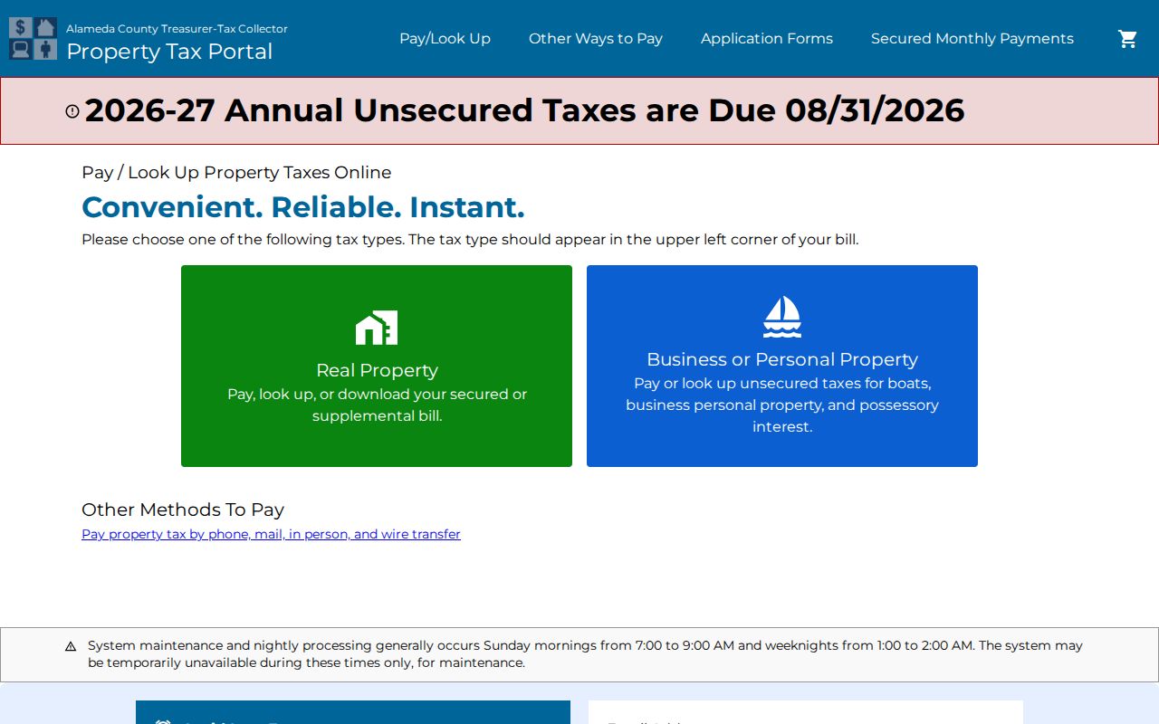
The property-tax view shows why a ZIP code search should be translated into a parcel or account question before any resident inference is made.
USPS Fields for a Fremont ZIP Lookup
The USPS tool is the authoritative check for one mailing destination. It does not return owners or residents, and its city-and-state mode should not be used as a city-limit map.
| Find by Address | Street address, city, state, and optional apartment or unit; returns ZIP+4. |
|---|---|
| Find by City and State | City and state; returns ZIP codes associated with the postal city label. |
| Cities by ZIP Code | ZIP code; returns preferred or acceptable city names. |
| Find and Reset | Query or clear the selected mode. |
Use the result as a mail-routing fact. Then ask whether the next source should be Fremont GIS, Alameda assessment, the recorder, a permit record, or a historical collection. Each answers a different question.
Open the USPS ZIP Code Lookup for the exact street line before treating the postal code as a Fremont geography clue.
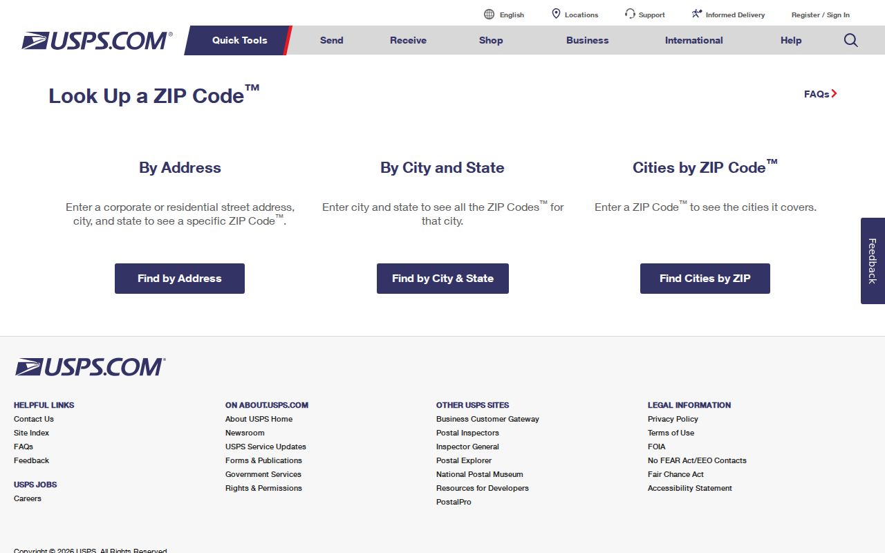
The USPS lookup view is most useful when the complete street line is known and the returned postal code is kept separate from the city boundary.
Fremont ZIP Code Boundaries and City Limits
Postal geography and municipal geography overlap in Fremont but are not interchangeable. Newark’s enclave, Union City’s northern edge, hillside and county parcels, and mail labels that use a neighboring city all make address-level verification necessary. Fremont GIS assigns and verifies addresses; USPS controls the delivery lookup. Neither replaces the other.
- ZIP code
- A five-digit mail-routing area that can follow delivery patterns rather than a city polygon.
- ZIP+4
- An added four digits that narrow delivery to a route, building, or delivery segment.
- PO-box ZIP
- A code used for post-office boxes and correspondence service rather than a residential land area.
- Unique ZIP
- A special code associated with one institution or narrowly defined delivery point; validate it with USPS.
- Carrier route
- A postal delivery sequence inside a larger ZIP area, not a parcel or household roster.
Before 1956, the five town names and Washington Township are better historical search terms than a modern Fremont ZIP. After incorporation, annexation, subdivision, and street extensions can change numbers or jurisdiction clues. For an individual address, keep the USPS result, GIS location, APN, and legal description in separate fields.
That four-part record is also a useful handoff to later research. USPS answers where mail goes, GIS answers where the parcel sits, the APN identifies the county assessment key, and the legal description anchors a recorded instrument. None of those fields alone proves who lives at the address.